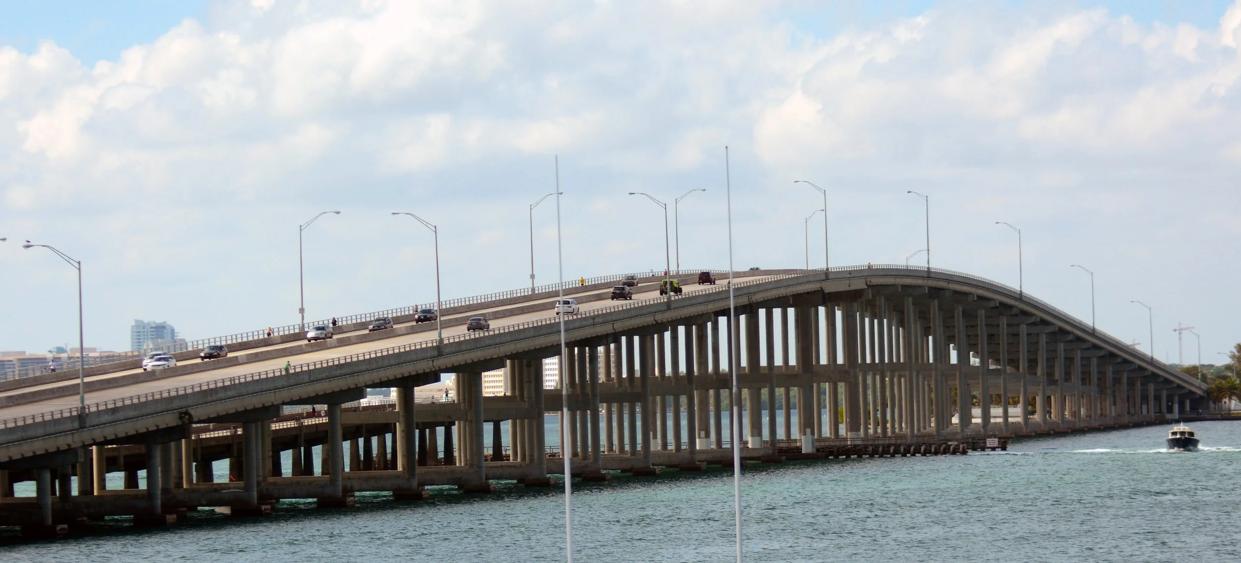
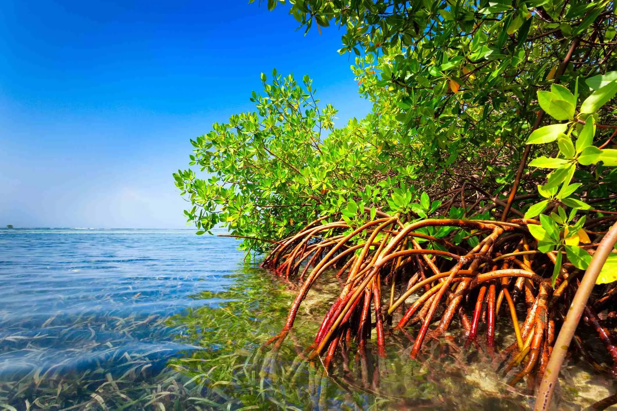
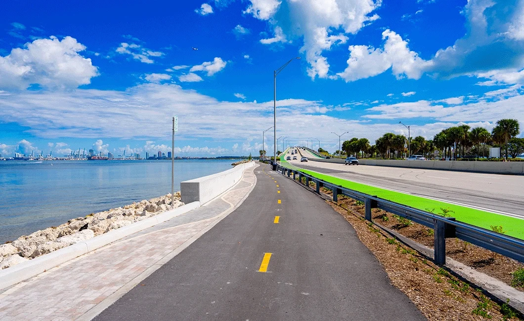
What Is the Rickenbacker Corridor? Question What is it? Click to reveal Answer The Rickenbacker Corridor is the connected set of roads, parks, waterways, and public lands linking mainland Miami to Virginia Key and Key Biscayne. Click to flip back Question Why it matters? Click to reveal Answer It supports daily travel, recreation, education, and access to important coastal and cultural sites. Click to flip back Question What shapes or limits it? Click to reveal Answer Environmental protections, public ownership, legal agreements, and safety requirements influence how the corridor can be used or changed. Click to flip back What is resiliency and ecology? Question What is it? Click to reveal Answer Resilience and ecology describe the natural systems—shorelines, water, plants, and habitats—that shape how the Rickenbacker Corridor responds to storms, flooding, erosion, and sea level rise. Click to flip back Question Why it matters? Click to reveal Answer The corridor is a low-lying coastal area exposed to weather and changing sea conditions. Its natural features help reduce damage, support wildlife, and influence how people safely use parks, roads, and waterfront spaces. Click to flip back Question What shapes or limits it? Click to reveal Answer Environmental protections, sensitive habitats, and climate conditions affect what activities or changes are allowed in different areas. Click to flip back Public-Private Partnerships (P3s) Question What is it? Click to reveal Answer A public-private partnership is an arrangement where a private entity operates or manages a facility on public land under agreed terms. Click to flip back Question Why it matters? Click to reveal Answer Several sites in the corridor use this model, affecting operations, responsibilities, and oversight. Click to flip back Question What shapes or limits it? Click to reveal Answer Contracts, public ownership rules, and county regulations define what is allowed. Click to flip back Legal Constraints (Crandon, Virginia Key, P3s) Question What is it? Click to reveal Answer Legal constraints include laws, leases, covenants, and agreements that govern how land and facilities in the corridor can be used. Click to flip back Question Why it matters? Click to reveal Answer Many areas are publicly owned and legally protected, limiting certain types of development or change. Click to flip back Question What shapes or limits it? Click to reveal Answer County codes, voter-approved measures, trust agreements, and long-term contracts all apply. Click to flip back Sidewalks, Bike Lanes & ADA Requirements Question What is it? Click to reveal Answer Federal and state laws require sidewalks and bike facilities to meet accessibility standards. Click to flip back Question Why it matters? Click to reveal Answer Facilities must be usable by people of all abilities. Click to flip back Question What shapes or limits it? Click to reveal Answer ADA guidelines, roadway width, and site conditions affect design. Click to flip back Vision Zero Question What is it? Click to reveal Answer Vision Zero is a safety framework focused on reducing serious injuries and fatalities on roads. Click to flip back Question Why it matters? Click to reveal Answer It influences how streets are designed and evaluated. Click to flip back Question What shapes or limits it? Click to reveal Answer Local policies, roadway conditions, and implementation resources apply. Click to flip back